Hamilton County is two completely different jobs sharing one county line. South and center, through Carmel, Fishers, Westfield and Noblesville, is the largest stock of builder-graded suburban lots in the state, and a great many of them do not drain. North, through Sheridan, Cicero, Arcadia and Atlanta, is still farm country doing farm work. Same soil under both, opposite problems on top of it.
Start with the ground, because it explains everything else. Crosby covers about a third of this county and Brookston another fifth, which means half of Hamilton County sits on soils the survey rates somewhat poorly or poorly drained, and adding the other wet series takes it to nearly sixty percent. Crosby carries a dense layer twenty to forty inches down that water will not pass through, so it perches and sits. Brookston is the depression soil and its water table runs from a foot down to half a foot above the surface. This is not ground that drains because you asked it to.
Now add the relief, or the lack of it. There is about two hundred and sixty feet between the high ground northwest of Sheridan and the White River where it leaves for Marion County, spread across a county twenty miles square, and most of that fall is in the river and Cicero Creek valleys. Everywhere else has almost none. Yard drainage here is built rather than found: a half percent grade, a shaped swale, and a piped outlet at a verified elevation. Grade gets shot with instruments because eyeballing a half percent is not a thing anybody can do.
The suburban work follows from those two facts. Twenty years of fast building put a very large number of houses on Crosby and Brookston with rushed rough grades, and the county's storm sewers are generally designed for a ten year storm, which is a reasonable standard and also the reason a yard floods in a bigger one. The work is regrades, swales, French drains, downspouts carried away from the foundation, sump discharge that goes somewhere sensible, and pulling grade off the house. Small tickets, tight access, and constant contact with drainage easements.
There is one hazard here worth naming before anybody digs. Nearly every subdivision in this county sits on former farm ground that was drained by clay tile laid a century ago, and only tile formally adopted as a regulated drain is on the surveyor's map. Everything else is undocumented and still down there. Purdue Extension's own guidance is blunt about it: construction commonly breaks, plugs or cuts these tiles, a plugged tile builds pressure and blows out at the surface, and the answer is to find the line on both sides of the structure and reroute it rather than cap it. On a Hamilton County lot, expect to find tile.
The regulated drain network here is enormous, on the order of fifteen hundred miles across county drains, subdivision drains and grass waterways, and Indiana law gives right of entry seventy-five feet from each side, which is a corridor a hundred and fifty feet wide plus the ditch itself. Hamilton also runs a rule stricter than the state: any subdivision over five lots outside municipal limits becomes a regulated drain, and county ordinance prohibits structures in those easements, so sheds, pools, fences and retaining walls do get removed. We check the easement before quoting rather than after somebody has poured concrete in one.
Two things people get wrong about the reservoirs, and both matter if your property touches one. Morse impounds Cicero Creek and Geist impounds Fall Creek, and both are owned and operated by Citizens Energy Group rather than the state. They are not public freshwater lakes: the state's official list of those names no lakes at all in Hamilton County, so the lake permitting rules that apply up in the kettle lake counties do not apply here. What does apply is the utility's own permission for shoreline work, plus floodway approval on the contributing streams and federal and state review for anything placed in the water. Anybody quoting you an IDNR lake permit on Morse has not checked.
Ponds do work here, and the soil record is why. Crosby runs thirty-five to forty-five percent clay in the layer that matters, sitting on dense till, and Brookston is clay loam the whole way down. Most Hamilton County ponds hold on native clay with a properly cut core trench and no liner at all, which is not true two counties north. The pond and estate work concentrates in the northern townships and along the Morse and river corridors where the lots are large enough to put one.
North of Westfield the county turns agricultural and the work turns with it: tile repair and replacement, grassed waterways carrying real flow, field ditch cleanout, building pads for pole barns, drives and lanes, ponds, and clearing. Bigger sites, fewer permits, larger tickets, and the same wet soils underneath. Arcadia is the one place in the county losing population, which tells you something about where the pressure is and is not.
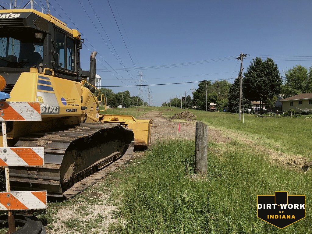
Every service, county-wide
Common Hamilton County projects
Yard regrades and drainage rescues across Carmel, Fishers, Westfield and Noblesville, French drains and downspout and sump outlets, retaining walls and grade correction on builder lots, ponds on the northern acreages and along the Morse and river corridors, pole barn pads, farm tile and waterway work around Sheridan, Cicero, Arcadia and Atlanta, and land clearing.