Johnson County is one county doing two unrelated jobs, and the line between them runs roughly north and south through the western third. North of Bargersville it is flat till plain and suburban growth. Southwest of Trafalgar it climbs into real hill country on the Brown and Morgan line. Worth correcting the common version straight away: the high ground here is the southwest, near Nineveh, not the southeast, and the lowest ground in the county is the White River valley up in the northwest corner. There is about three hundred and eighty-seven feet between them.
The county also splits between two river basins, which almost nobody realizes and which decides where your water actually goes. The east and south, Sugar Creek, Youngs Creek, Nineveh Creek and the Big Blue River, run to the Driftwood, which forms about a mile west of Edinburgh and carries on to the East Fork White at Columbus. The west and northwest, Stotts Creek, Indian Creek, Honey Creek and Pleasant Run, go straight to the West Fork White. Those two halves do not meet again until far downstream. If you are near the divide, which way your ground falls is worth establishing before anybody designs an outlet.
The soils in the northern two thirds will be familiar to anybody who has worked central Indiana: Crosby and Brookston together are better than forty percent of the county, with Miami between them. The wet ground here comes to a little better than a fifth of the county, spread across a flat till plain and sitting low in the shallow swales and drainageways rather than gathered in one corner. Crosby runs C to D for runoff on the slight rises, Brookston holds the low spots, and Rensselaer, Westland, Treaty and Sloan fill in the rest. That is ground that farms only because somebody tiled it, and it is why the drainage work here never runs out.
Which leads to the hazard under the growth. The north end is building fast, Whiteland up nearly twenty percent since 2020 and Bargersville close behind, and it is building on former cropland that was drained by clay tile laid generations ago. The surveyor maintains around four hundred miles of regulated drain; the private network under the fields is far larger and it is on no map at all. Cutting a live main is a real risk on a Greenwood or Whiteland lot, and capping one puts water in a neighbor's yard rather than making it disappear.
The southwest quarter is a different business entirely. Three hundred and fifty feet of relief on well-drained slope soils means the failure mode flips: water leaves too fast, so the jobs are erosion, gullies, washed drives, culverts sized for what the hill above actually delivers, and slopes cut back to hold seed. It also means dams. The national inventory lists thirty-seven dams in Johnson County, thirty-five of them earth embankments, with a median completion year of 1965, and they sit almost entirely in that southwest quarter around Prince's Lakes, Lamb Lake and Peoga. Nine are rated high hazard.
On ponds the soil survey says something useful and slightly counterintuitive. The ground here holds water well, roughly two thirds of the county rates only somewhat limited for a pond reservoir, because the clays do their job. What it rates badly is the embankment itself, better than sixty percent very limited, meaning the material you would want to build the dam out of is not what is lying there. And dug ponds relying on groundwater rate very limited across nearly three quarters of the county, so a pond here generally wants to be built and sealed rather than dug and hoped over.
Along Sugar Creek and the Big Blue through Edinburgh and Franklin there is floodway to account for, and state approval is required for work in the floodway of any stream with a square mile or more above it, which covers most of the named water here. The northern suburbs largely escape that and pick up stormwater permitting instead, which triggers at an acre of disturbance. Different paperwork, same principle: it belongs in the quote rather than in week three.
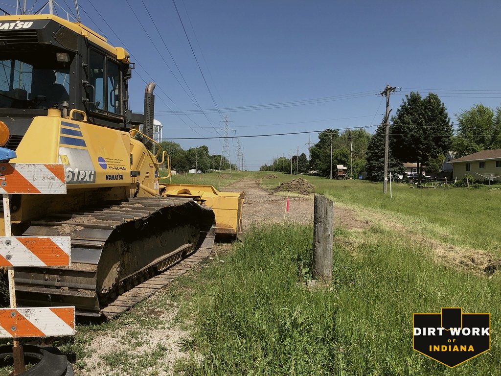
Every service, county-wide
Common Johnson County projects
Yard regrades and drainage across Greenwood, Whiteland, New Whiteland and Bargersville, old farm tile located and rerouted under new subdivisions, pond and earth dam repair through the southwest hills around Prince's Lakes and Lamb Lake, erosion and culvert work on the slopes, flood-aware grading along Sugar Creek and the Big Blue, pole barn pads, drives and clearing.